Activity Mapping, Rome
Mapping is a very useful tool in any urban research project. I used it with my fellow univesity friends: Margot de Man and Eva Fuehrer in our project “Bridging the Tiber” done in the Msc1 studio “Public Building” at TU Delft. The research consisted of an extensive analysis of 18 bridges in Rome, focusing on their typology, materiality and activities happening around them. By doing that, we tried to understand the impact of the bridges on the river and the city. We noticed a variety of social layers of activities happening on, underneath and in close proximity to the bridge.
Mapped activities
The group of layers, that we took into account includes: greenery, cultural events, sport activities, commerce and problematic locations of homeless people or drug addicts. We mapped the activities along the river in order to find a pattern and chose the location for our intervention.
Layers of activities along the river
Results
This led to the conclusion, that bridges did not only connect the two sides of Rome but at the same time they created a disconnect between the lower embankment of the river and the city.
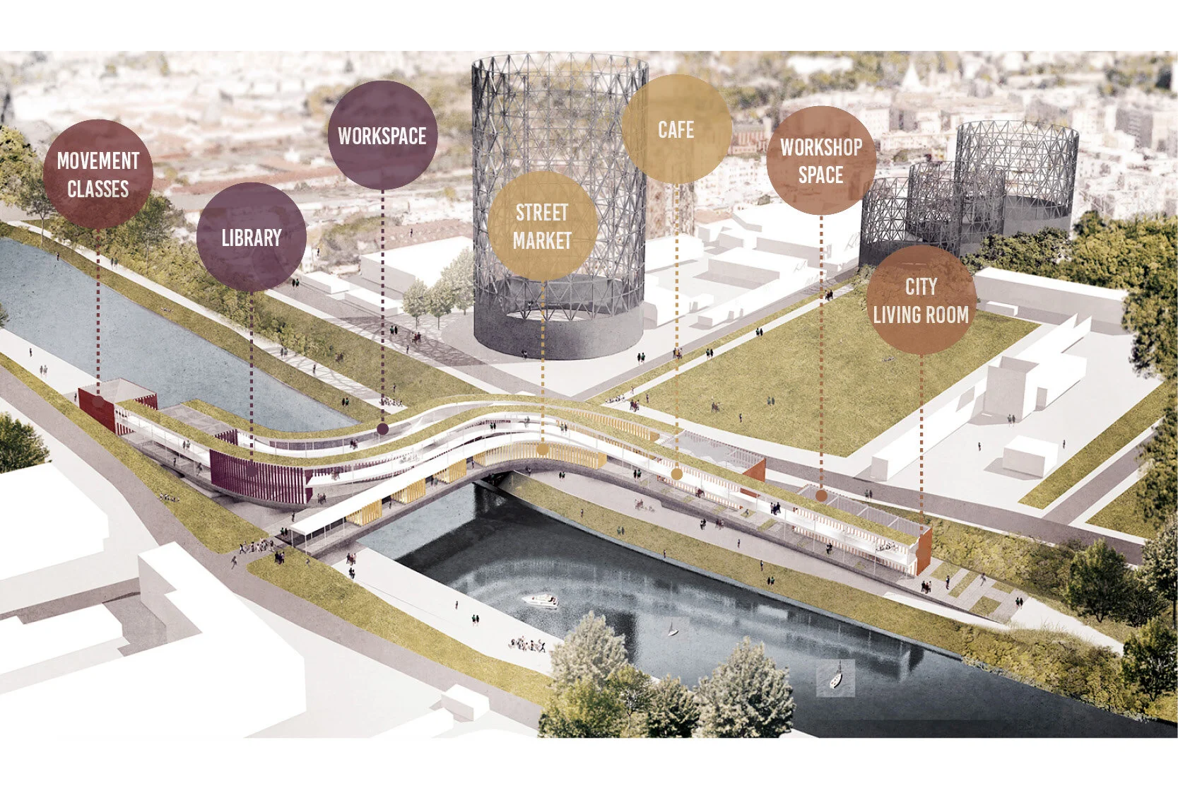
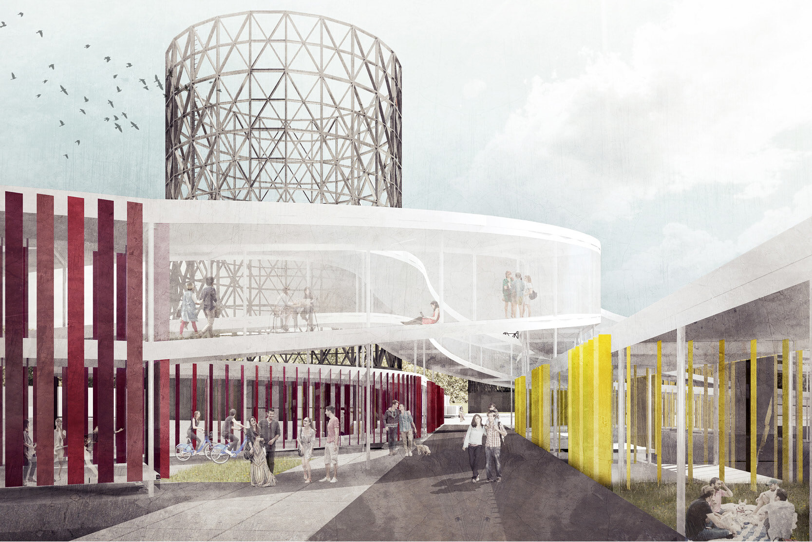
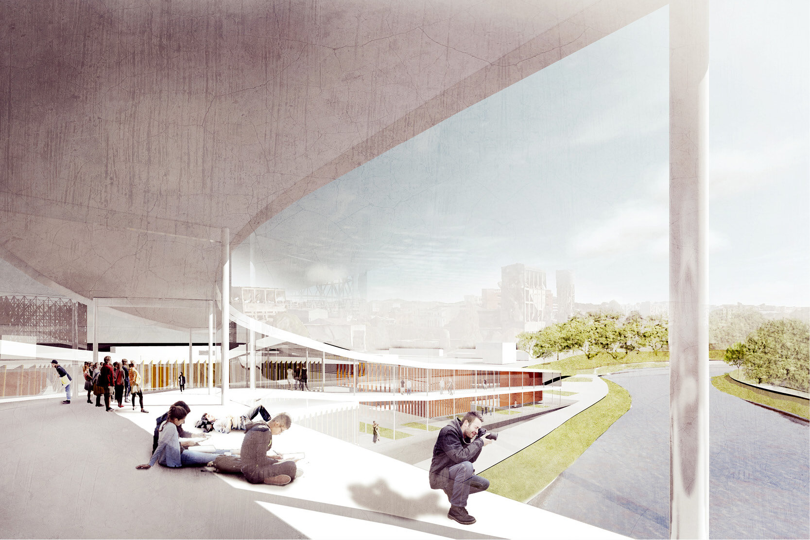
As a response to that problem we found the need to collect and merge those activities fluently and use them as a tool to reestablish a physical connection between the river and the city. We proposed a bridge- like public building as a solution for contextual issues that connects not only the two sides but also the lower embankments with the level of the city


